Scurry County • 85 mi from Midland
Land Development in Snyder, TX
Turning raw land into a graded, ready-to-use property.
Rangefinder Excavation provides land development throughout Snyder, TX and Scurry County. The mix of oilfield and ranching activity around Snyder keeps our crews working across nearly every service we offer, from pad construction to pond building.
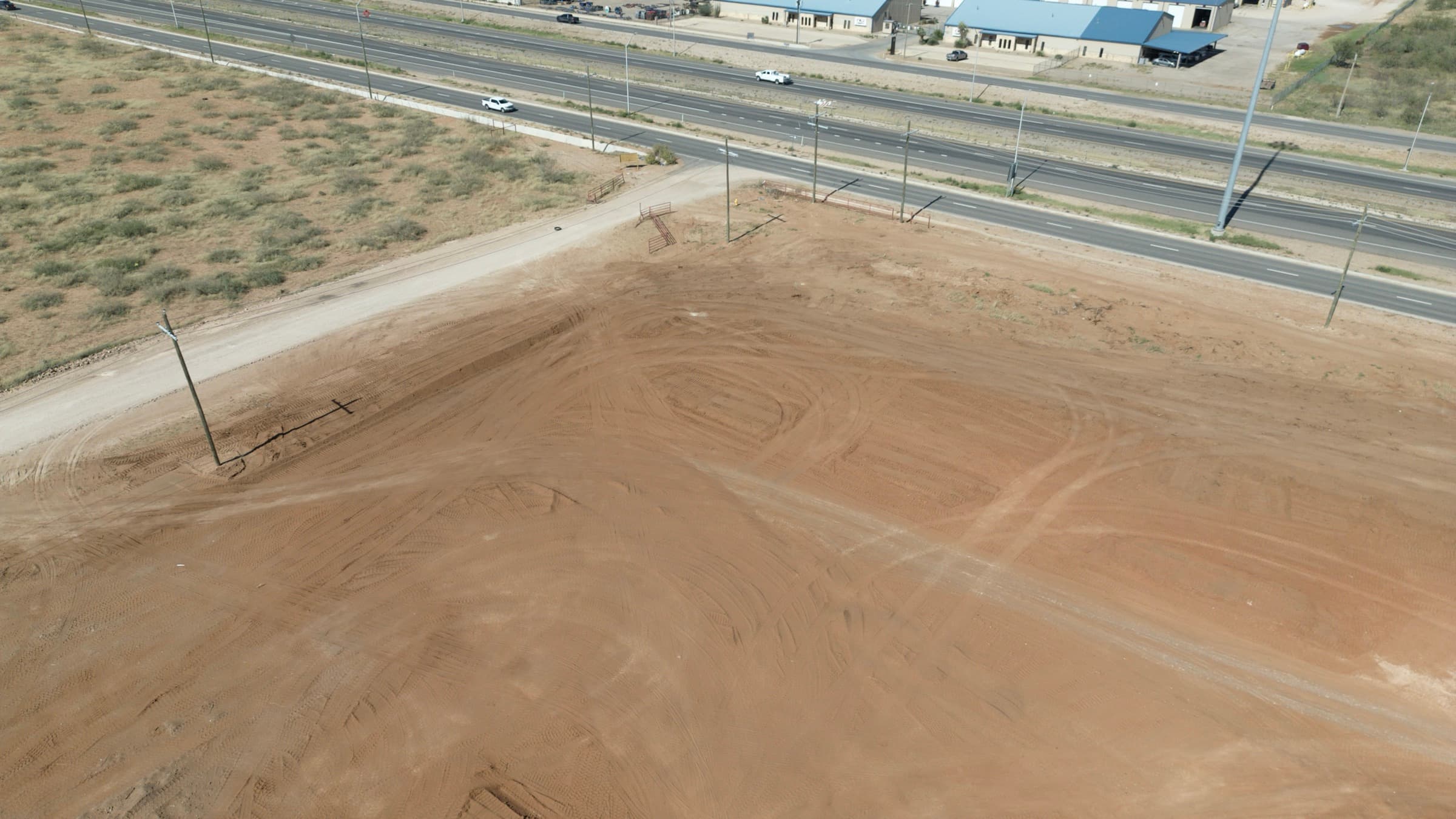
Raw land doesn't become usable land on its own. Rangefinder Excavation handles land development across the Permian Basin — clearing, grading, and shaping lots and acreage so they're ready for the next step, whether that's a home, a subdivision, or expanded ranch operations.
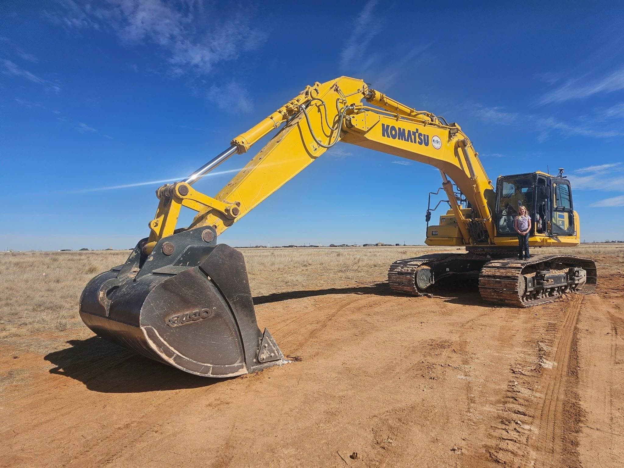
What's Included
- Raw land clearing and grading
- Lot development for residential and commercial builds
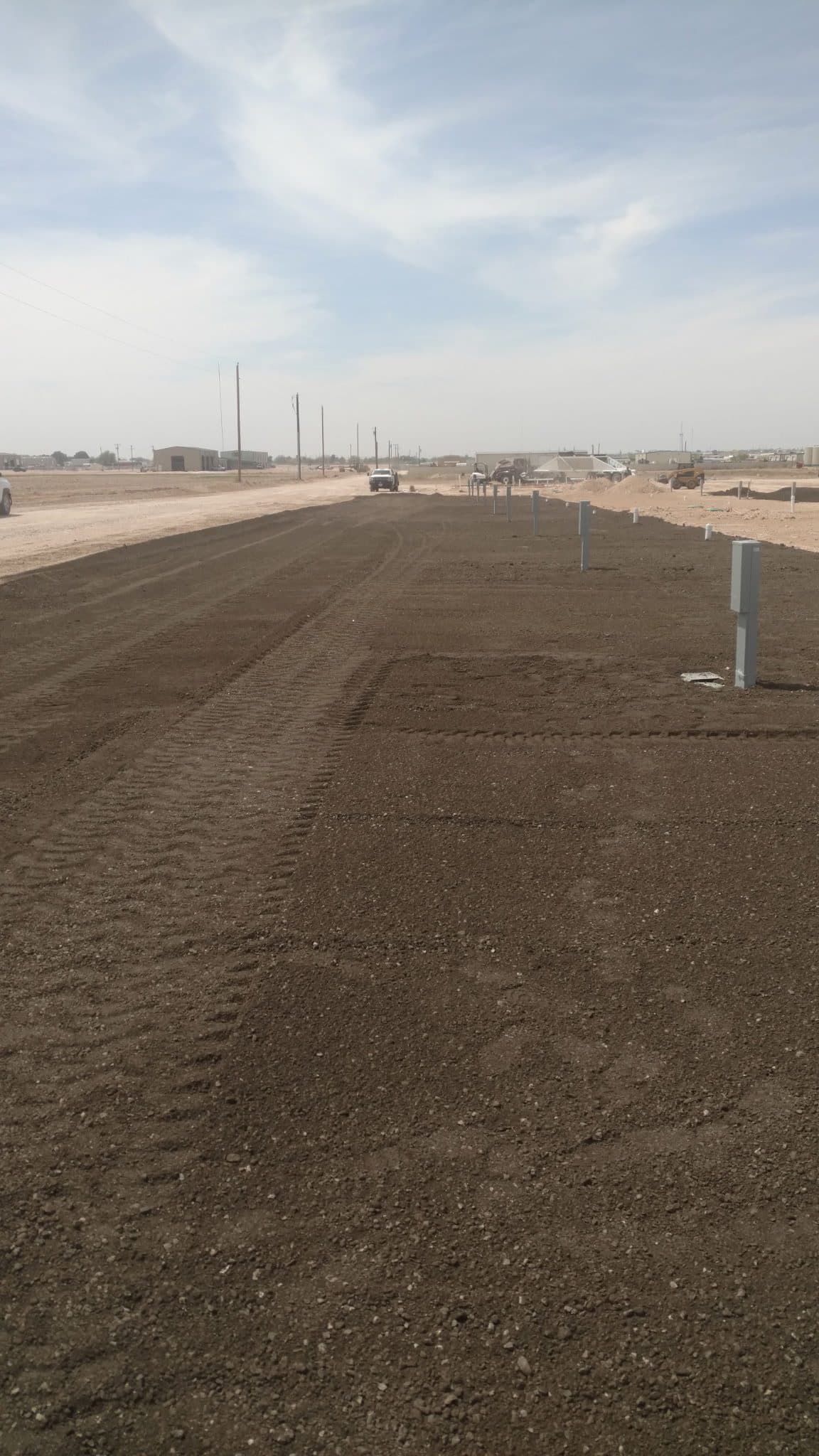
- Subdivision street and lot grading
- Cut-and-fill earthwork and site balancing
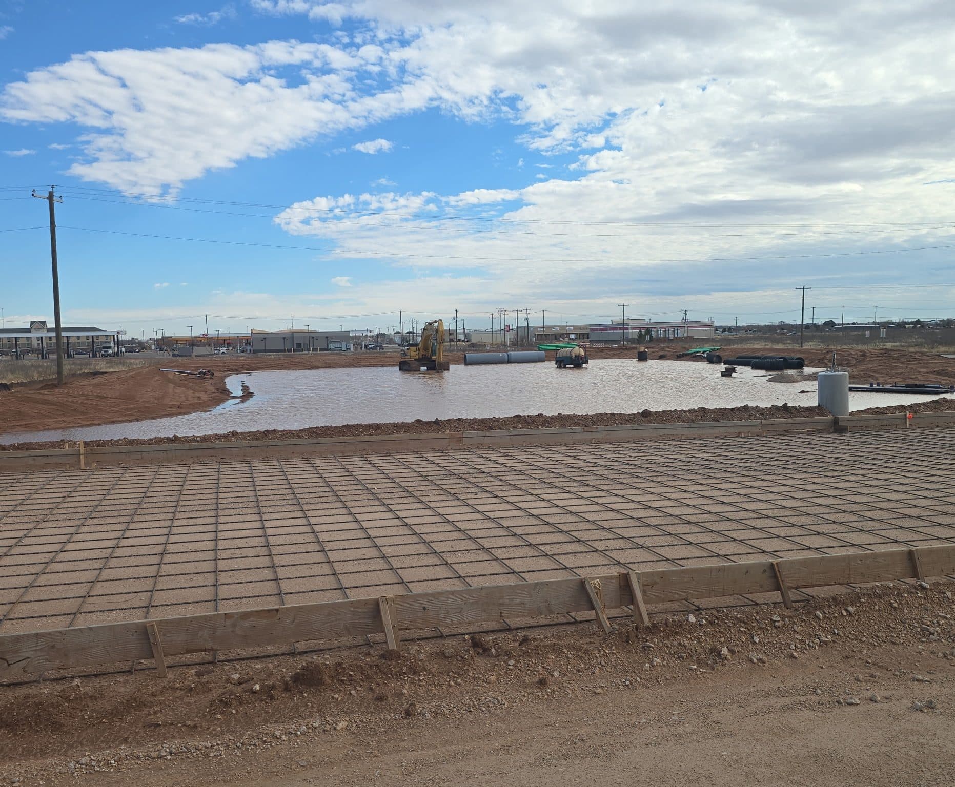
- Drainage planning and grading for new development
- Access road construction for undeveloped parcels
Why Snyder Property Owners Call Us
- Experience turning raw acreage into developable land
- Coordination with surveyors, engineers, and builders
- Equipment fleet for large-scale earthwork
- Grading that accounts for drainage from day one
Ground conditions — Snyder, TX
Scurry County mixes caliche, rock and red clay across rolling ground — the kind of tract where the dig changes twice between the gate and the build site.
Rolling terrain sheds water into draws, which is good for the pad and hard on any crossing that was not sized for it.
What land development looks like around Snyder
Snyder is roughly 85 miles northeast of our Midland yard. US-84 and US-180 are the main routes, with county roads and lease roads past them.
Work we get called for in Scurry County
- Stock ponds and tanks built into the draws
- Ranch and lease roads over rock and caliche
- Pad construction tied to oilfield activity
Access & permits
TxDOT's Abilene district covers state-highway frontage; Scurry County Road & Bridge handles county road access.
How a land development job runs
Same four steps whether the job is in Snyder or anywhere else we work: site walk and scope, clear and rough grade, earthwork and balancing, finish grade and drainage.
See what each step involves →Land Development in Snyder — Common Questions
- Do you do land development in Snyder, TX?
- Yes. Snyder is roughly 85 miles northeast of our Midland yard, and land development is work we run regularly across Scurry County. US-84 and US-180 are the main routes, with county roads and lease roads past them.
- What affects a land development job around Snyder?
- Scurry County mixes caliche, rock and red clay across rolling ground — the kind of tract where the dig changes twice between the gate and the build site. Rolling terrain sheds water into draws, which is good for the pad and hard on any crossing that was not sized for it.
- Do I need a permit for land development near Snyder?
- It depends on whether the work touches a public road. TxDOT's Abilene district covers state-highway frontage; Scurry County Road & Bridge handles county road access. We will tell you which one applies before we price it.
More general questions about land development are answered on the land development page.
Other Popular Services in Snyder
Land Development in Nearby Areas
Ready for land development in Snyder?
Contact Us Directly
Prefer to call or email instead of filling out the form? Reach us directly:
Phone
(575) 973-8523Hours
- Monday – Friday7:00 AM – 6:00 PM
- SaturdayBy appointment
- SundayClosed
Service Area
Midland, TX & the Permian Basin