Pecos County • 120 mi from Midland
Land Development in Fort Stockton, TX
Turning raw land into a graded, ready-to-use property.
Rangefinder Excavation provides land development throughout Fort Stockton, TX and Pecos County. Ranch road building and culvert installation are our most frequent Fort Stockton-area projects, tied to both ranching operations and oilfield access needs.
Raw land doesn't become usable land on its own. Rangefinder Excavation handles land development across the Permian Basin — clearing, grading, and shaping lots and acreage so they're ready for the next step, whether that's a home, a subdivision, or expanded ranch operations.
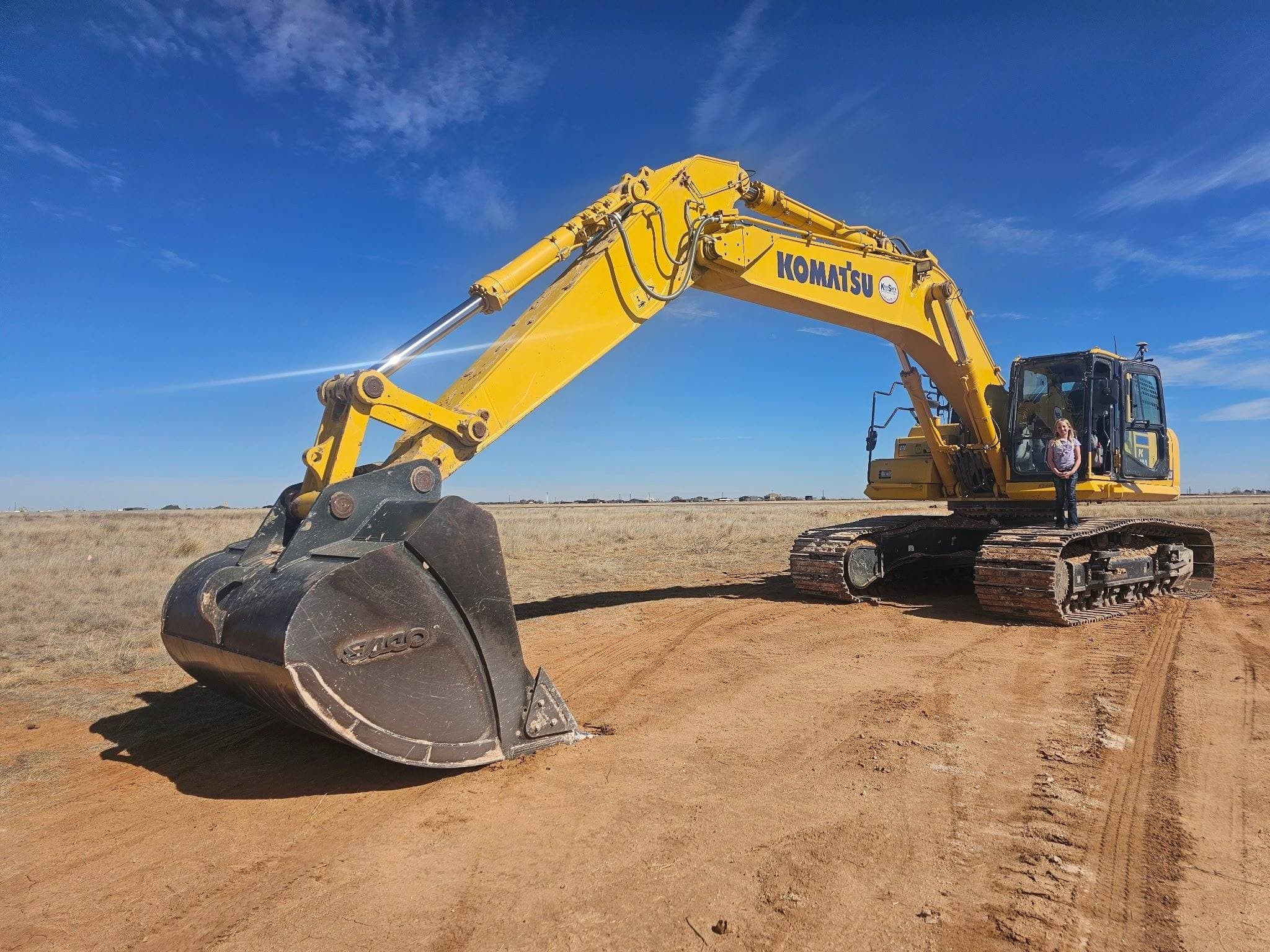
What's Included
- Raw land clearing and grading
- Lot development for residential and commercial builds
- Subdivision street and lot grading
- Cut-and-fill earthwork and site balancing
- Drainage planning and grading for new development
- Access road construction for undeveloped parcels
Why Fort Stockton Property Owners Call Us
- Experience turning raw acreage into developable land
- Coordination with surveyors, engineers, and builders
- Equipment fleet for large-scale earthwork
- Grading that accounts for drainage from day one
Ground conditions — Fort Stockton, TX
Pecos County ground is thin over rock and caliche, with long stretches of open range between anything resembling a road.
Rain is rare and then torrential — the arroyos that look dry eleven months a year are the ones that take out an unarmored crossing.
What land development looks like around Fort Stockton
Fort Stockton is roughly 120 miles southwest of our Midland yard. I-10 and US-285 are the arteries; past those, access is county road and private ranch road.
Work we get called for in Pecos County
- Ranch roads and lease roads built for loaded-truck traffic
- Culverts and low-water crossings sized for flash flow
- Remote pad and location work well off the pavement
Access & permits
TxDOT's Odessa district covers highway access; Pecos County Road & Bridge handles county approaches.
How a land development job runs
Same four steps whether the job is in Fort Stockton or anywhere else we work: site walk and scope, clear and rough grade, earthwork and balancing, finish grade and drainage.
See what each step involves →Land Development in Fort Stockton — Common Questions
- Do you do land development in Fort Stockton, TX?
- Yes. Fort Stockton is roughly 120 miles southwest of our Midland yard, and land development is work we run regularly across Pecos County. I-10 and US-285 are the arteries; past those, access is county road and private ranch road.
- What affects a land development job around Fort Stockton?
- Pecos County ground is thin over rock and caliche, with long stretches of open range between anything resembling a road. Rain is rare and then torrential — the arroyos that look dry eleven months a year are the ones that take out an unarmored crossing.
- Do I need a permit for land development near Fort Stockton?
- It depends on whether the work touches a public road. TxDOT's Odessa district covers highway access; Pecos County Road & Bridge handles county approaches. We will tell you which one applies before we price it.
More general questions about land development are answered on the land development page.
Other Popular Services in Fort Stockton
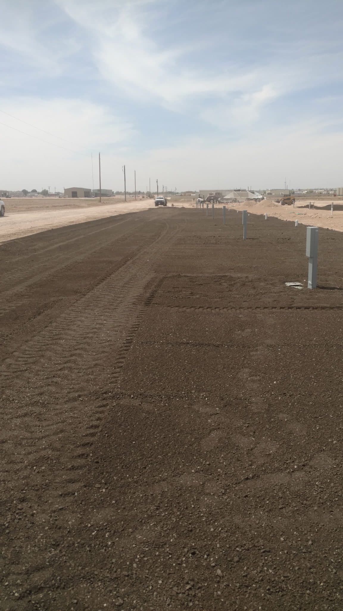
Ranch Development
Ranch roads, pads, and infrastructure built to work as hard as you do.
Learn more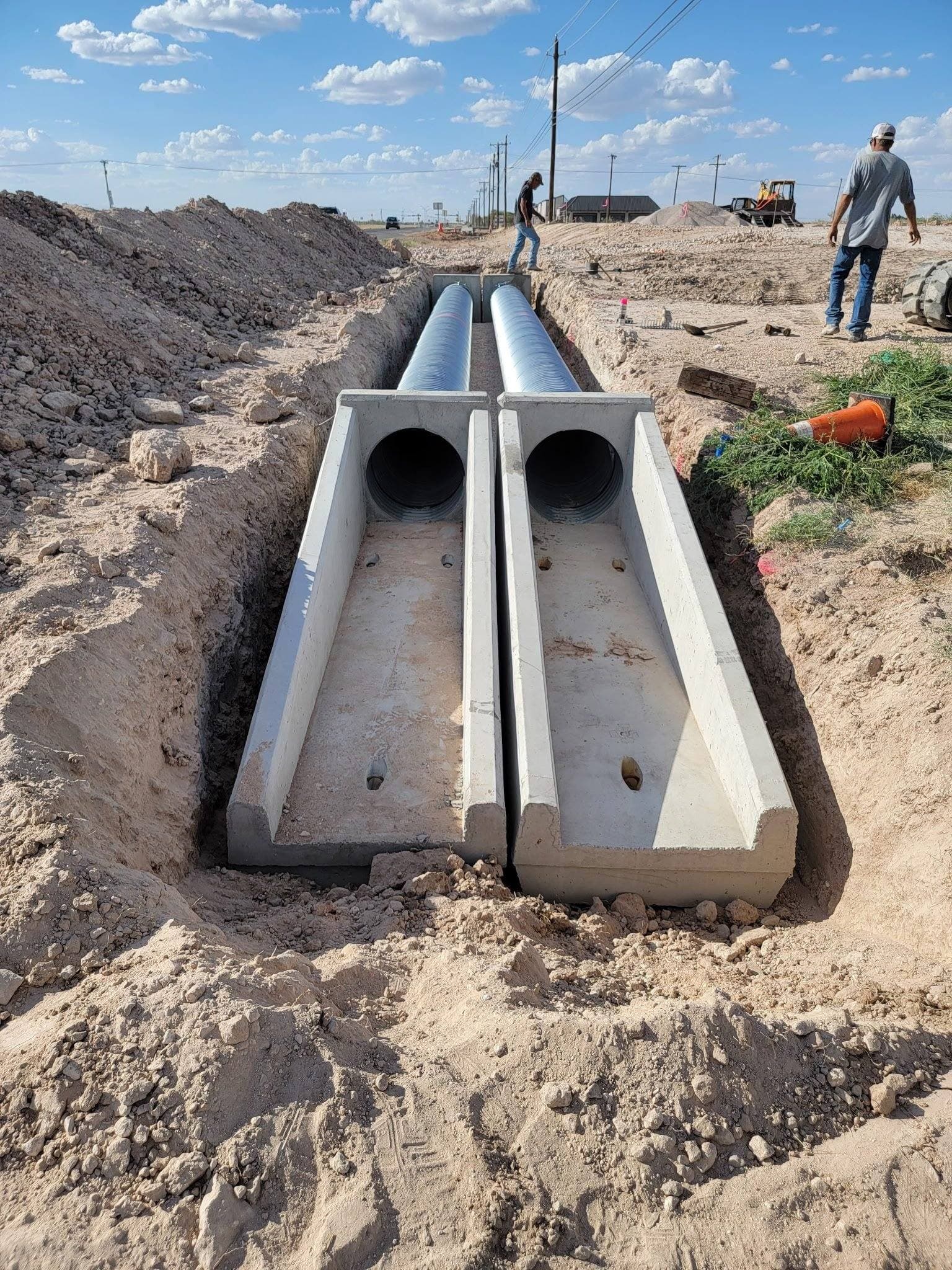
Culvert Installation
Culverts sized and set to actually carry the water, not just look installed.
Learn more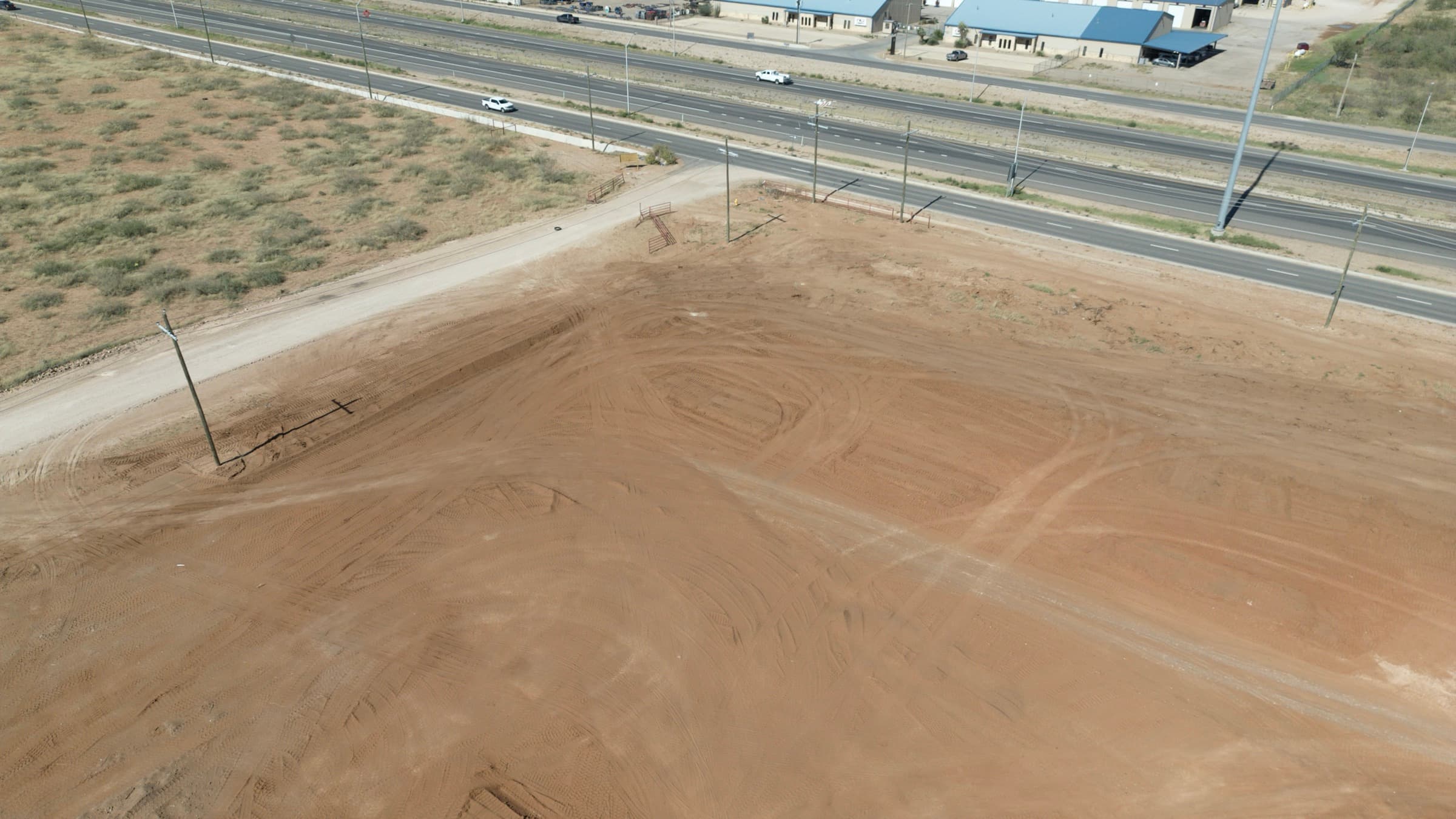
Site & Pad Construction
Site prep and pad construction that gets the ground ready to build.
Learn moreLand Development in Nearby Areas
Ready for land development in Fort Stockton?
Contact Us Directly
Prefer to call or email instead of filling out the form? Reach us directly:
Phone
(575) 973-8523Hours
- Monday – Friday7:00 AM – 6:00 PM
- SaturdayBy appointment
- SundayClosed
Service Area
Midland, TX & the Permian Basin