Guide
Detention vs Retention Pond: Which One Your Site Actually Needs
Two words that get swapped on drawings, in bids and in city meetings, and they describe two different things. One empties itself between storms. One is supposed to hold water and mostly cannot out here. Here is how to tell which one your plans are asking for before anybody digs it.
Almost every commercial project in Midland or Odessa runs into the same requirement: you cannot send more water off your lot after you build than the bare ground was sending before you built. Roofs and parking lots do not soak up anything, so the water has to go somewhere, and that somewhere is usually a hole in the corner of the site. What gets argued about is which kind of hole.
Detention and retention are not interchangeable. A detention pond is a holding tank with a slow drain. A retention pond is a bathtub with no drain. They are shaped differently, they are maintained differently, they fail differently, and out here one of them works far more often than the other. Rangefinder Excavation digs both across the Permian Basin, to whatever the civil plans call for.
If you already know what you want built, the drainage solutions page covers scope, process and what a job like it involves instead.
Straight talk: we dig it, we do not design it
We are a dirt contractor. We excavate the basin, shape the slopes, place the structure the plans detail, set the riprap and shoot the grades so the as-built matches the drawing. We do not run the drainage study, size the orifice, or stamp anything. The civil engineer owns that, and that is the right way around.
What we will do is say something when the plan and the ground disagree. A retention basin drawn over caliche that will never soak, an outlet elevation that cannot reach the ditch it is supposed to discharge to, a basin in the corner of the lot the water does not actually run to — we would rather raise all of it standing on the site before anybody digs than build exactly what is drawn and let you find out at closeout.
Head to Head
Detention pond
A dry basin that fills during a storm and lets the water back out through a sized outlet at a controlled rate, so it is empty again a day or two later. It does not store water. It slows it down.
Retention pond
A basin with no outfall that keeps what it catches. The water leaves by soaking into the ground and evaporating, which means the ground underneath has to actually take it.
| What you're comparing | Detention pond | Retention pond |
|---|---|---|
| What it does with the water | Holds it briefly and releases it at a set rate through an outlet structure sized by the engineer. | Keeps it. The only ways out are down into the soil and up into the air. |
| What it looks like between storms | Dry. Mowed grass or a gravel bottom, usable ground most of the year. | Wet, or at least damp, depending on how fast the ground takes it and how hot it has been. |
| What the ground has to do | Nothing special. It works over caliche, which is most of our service area. | Infiltrate. Over tight caliche it will not, and the basin turns into a long-term mosquito pond that does not drain. |
| The part that makes it work | The outlet: orifice or weir, trash rack, riprap, and an emergency spillway for the storm bigger than the design storm. | The bottom. Soil type, depth to the restrictive layer, and honest infiltration numbers rather than assumed ones. |
| Maintenance it demands | Keep the outlet clear and pull sediment out of the forebay. A plugged orifice turns a detention pond into a retention pond nobody designed. | Sediment removal, and eventually scarifying or rebuilding the bottom when fines seal it off and infiltration drops. |
| How it fails | Quietly, at the outlet. It holds water for days, the side slopes slump, and the next storm overtops it. | Slowly, at the bottom. Silt seals the surface, the design volume stops being real, and water backs up onto things that were never meant to be wet. |
| Who signs off on it | The civil engineer sizes it off the drainage study, and the city reviews it against its drainage criteria. An as-built survey usually has to prove the volume got built. | Same, plus geotechnical testing of the actual infiltration rate. A retention pond approved on assumed soils is a gamble with somebody else's slab. |
Where Each One Is the Right Call
Reach for detention pond when
- Commercial sites where the city limits how fast water can leave the lot
- Tight caliche and clay ground that will not take water into it
- Anywhere the basin has to be mowed, driven on, or double as green space between storms
- Projects where somebody has to certify that post-development runoff matches pre-development runoff
Reach for retention pond when
- Sandy ground with real infiltration and the water table well below the bottom
- Sites with nowhere downstream to legally discharge to
- Ranch and industrial tracts where a permanent or semi-permanent pool is wanted, not just tolerated
- Locations where the plans and the soils report both say retention, not just the plans
Out here, most of what gets called retention is detention
The Permian Basin runs caliche, and caliche does not drink. A basin built to hold water and let it soak away over tight caliche will still have water in it a week later, which is exactly what nobody wanted: standing water next to a parking lot, a bottom nobody can mow, and a slope that starts sloughing the second it stays saturated.
So when plans out here say retention and the geotech says caliche at two feet, that is worth a conversation before anybody digs, not after. Most of the time the design intent was a dry basin with a controlled release, and the word on the drawing is just the word the drafter used. Occasionally it really is a retention design, and then the infiltration testing had better be real.
The outlet is the whole structure, not a detail
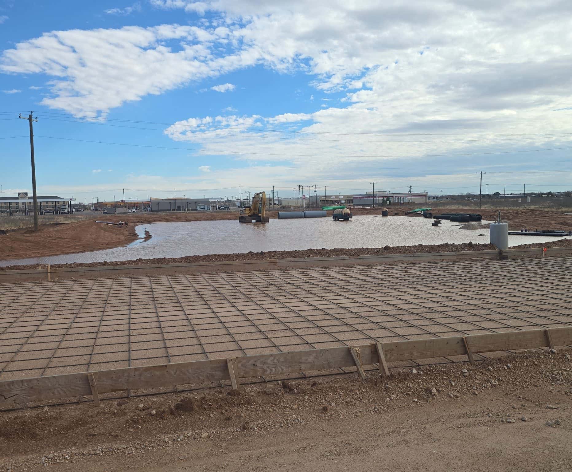
On a detention pond the excavation is the easy part. The basin is a shape. What makes it a detention pond instead of a hole is the outlet: an orifice or weir sized to let water out at the allowable rate, a trash rack so the orifice does not plug the first time a plastic bag comes through, riprap so the discharge does not cut a channel, and an emergency spillway set above the design water surface for the storm that is bigger than the one it was designed for.
Every one of those has an elevation on the plans, and every one of them matters to within inches. Build the basin right and set the orifice an inch low and it drains too fast to do its job. Set it high and it holds water it should have released. This is why the as-built survey exists and why we shoot grades on this kind of work rather than eyeballing it.
Volume is measured, not guessed
The pond has to hold a specific number of cubic feet below a specific elevation. That number comes out of the drainage study, and the city is going to want proof it got built. That proof is survey, not a photograph of a big hole.
The practical consequence is that side slopes, bottom elevation and freeboard are not places to improvise. Flattening a slope because it is easier to mow changes the volume. Leaving the bottom high because the caliche got hard changes the volume. If something on the plan does not work on the ground, the answer is a call to the engineer, not a field decision that shows up on the as-built.
Side slopes, mowing and the thing that gets value-engineered out
A basin with steep sides holds the same water in less footprint, which is why steep sides are tempting on a tight lot. Then somebody has to mow them, and a mower on a slope that steep is a safety problem, so it does not get mowed, so it grows up, so the sediment nobody can see builds up in the bottom.
Mowable side slopes and a maintenance access route into the basin are the two things most likely to get trimmed out of a design and the two most likely to be regretted. If a truck cannot get to the forebay to clean it, it does not get cleaned, and a pond that is never cleaned is a pond that is slowly getting smaller.
Sediment control during construction is a separate job
The basin frequently gets dug early, because it is the low spot and it is a convenient place for the site to drain to while the rest of the work happens. That is fine, and it also means the pond spends the whole construction period catching mud. If nothing is done about that, the first thing the owner receives at closeout is a basin with a foot of silt in the bottom and less volume than the plan says.
Silt fence, a stabilized construction entrance, inlet protection and a sediment forebay are part of the stormwater plan on any site disturbing an acre or more, and they exist for this. Cleaning the basin out before final survey is a line item worth having in the contract rather than an argument to have at the end.
What we need to price the basin
The civil plans with the grading and drainage sheets, the pond detail with the outlet structure, and the drainage study number for required volume. The geotechnical report if there is one, because caliche depth changes what the excavation costs and whether the design is even the right design. Where the discharge goes and whether the tie-in exists yet.
If the plans are not finished, we will still walk the site and tell you what we see: where the low spot really is, what the ground looks like, and whether the corner of the lot the basin is drawn in is the corner it should be in. That part is free, and it is a much cheaper conversation before the plan is stamped than after.
What Your Ground Changes
The Permian Basin is not one kind of dirt. What is obviously the right call on one side of our service area is the wrong one two counties over, and it is the ground underneath — not the thing sitting on top of it — that decides.
Midland, TX
Midland County
Caliche close to the surface across most of Midland County. It excavates clean and holds a slope well, and it takes almost no water into it — which is why nearly every commercial basin in town is a dry detention pond with a sized outlet, whatever the drawing happens to call it.
Dirt work in MidlandOdessa, TX
Ector County
Ector County mixes caliche with sandy loam, and much of the commercial ground is infill next to lots developed decades ago. The basin is usually straightforward; finding somewhere legal and physical to discharge to, through drainage the neighbors built, is the part that takes the time.
Dirt work in OdessaAndrews, TX
Andrews County
Flat country with caliche and sandy loam. With almost no natural fall, nothing leaves a site on its own, so detention here is dug rather than inherited and the outlet elevation has very little room in it.
Dirt work in AndrewsGardendale, TX
Ector County
Ector County ground along SH-158, flat, with caliche not far down. Flat is the constraint: the basin bottom, the outlet and the finished grade of everything draining to it are one decision, and getting positive fall to the pond matters more than the pond itself.
Dirt work in GardendaleStanton, TX
Martin County
Martin County farm ground, sandy loam over caliche. The sand up top takes water and the caliche underneath stops it, so infiltration numbers taken shallow can look far better than the basin will actually perform once it is dug to depth.
Dirt work in StantonGreenwood, TX
Midland County
Sandy loam over caliche on acreage southeast of Midland, mostly shop and barndominium tracts. Sheet flow across flat ground is the real issue out here — a basin that does not intercept it is just a hole next to the water that is still running at your building.
Dirt work in GreenwoodBig Spring, TX
Howard County
Howard County turns rocky fast and caliche ledge is common, which changes what a deep basin costs to excavate. The relief helps: water arrives with somewhere to go, so a controlled release usually has a real outfall to tie into instead of a ditch that goes nowhere.
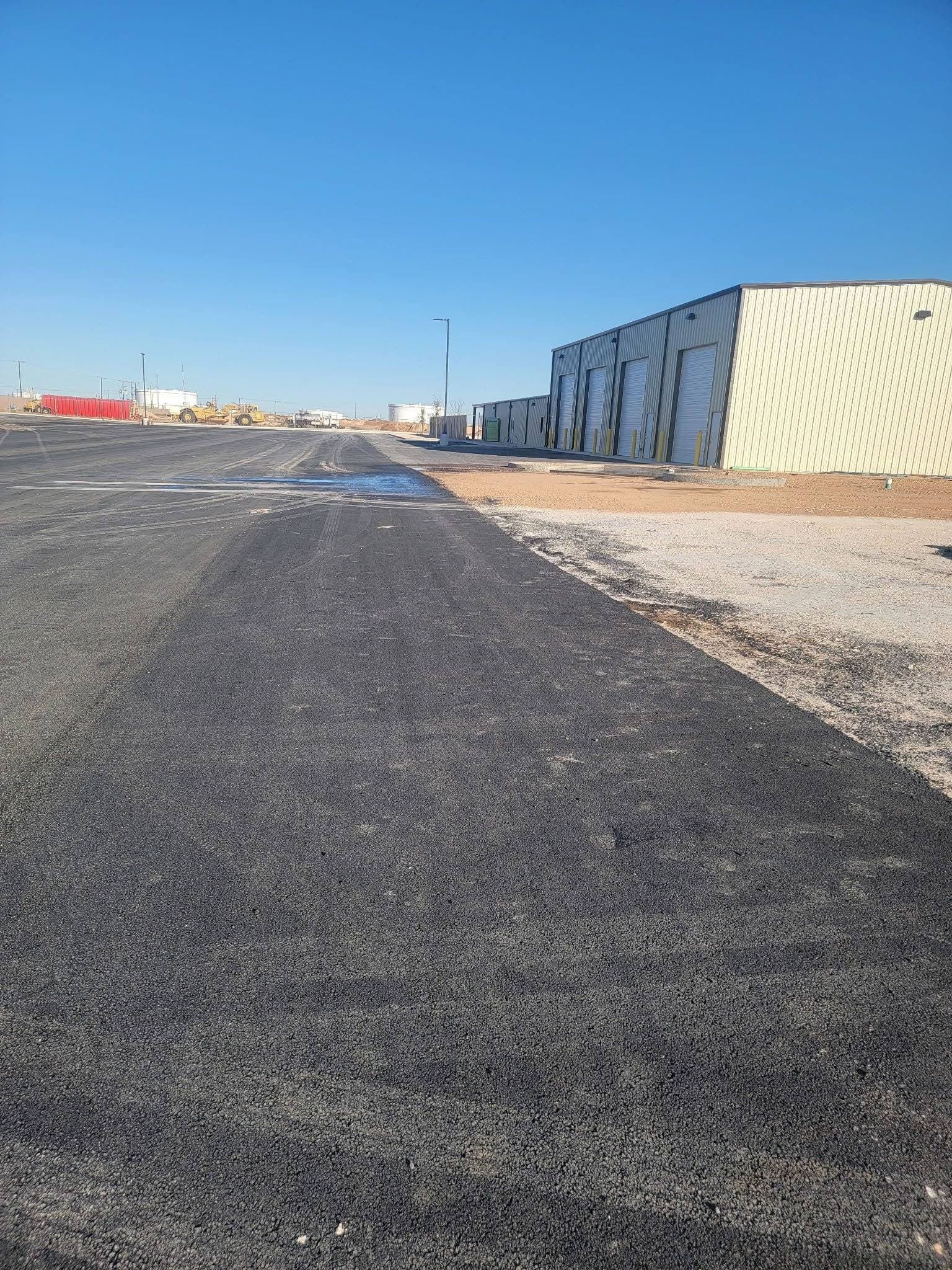
Dirt work in Big SpringWhat This Looks Like on the Ground
Frequently Asked Questions
What is the difference between a detention pond and a retention pond?
A detention pond holds stormwater temporarily and releases it through a sized outlet at a controlled rate, so it sits dry between storms. A retention pond has no outfall and keeps what it catches, losing it to infiltration and evaporation. Detention slows water down; retention stores it.
Which one does a commercial site in Midland or Odessa usually need?
Detention, in most cases. The requirement is normally that you cannot discharge water off the lot faster after you build than before, and caliche does not take water into it, so a dry basin with a controlled release is what actually performs here. The civil plans and the city drainage criteria decide it, not us.
Will a retention pond work over caliche?
Usually not well. Caliche has very low infiltration, so a basin depending on soaking water away tends to hold it for days or weeks instead. If the design is genuinely retention, get real infiltration testing at the depth the basin bottom will sit, not an assumed rate off a soil map.
Why does my detention pond still have water in it a week later?
The outlet is almost always the answer. A plugged orifice, a trash rack packed with debris, or an outlet set at the wrong elevation will all do it, and so will sediment that has raised the bottom above the outlet invert. Start at the structure before assuming the basin was built wrong.
Do I need a permit or a drainage study for a detention pond?
Commercial sites are normally reviewed against the city or county drainage criteria, and that review is driven by an engineer's drainage study. Separately, disturbing an acre or more generally triggers construction stormwater permitting and a site-specific plan. Confirm both with your engineer and the local authority early, because they shape the site layout.
How much does it cost to build a detention pond?
There is no per-yard number that means anything without the plans. Required volume, depth, how hard the caliche is, whether the spoil stays on site or gets hauled off, the outlet structure, riprap and slope stabilization all move it. Send the grading and drainage sheets and we will walk the site and price it. The estimate is free.
The Work Behind This Guide
Everything above is one of these services, or the drainage work that keeps it from failing.
Drainage Solutions
Grading and drainage work that gets water moving where it's supposed to go.
Learn more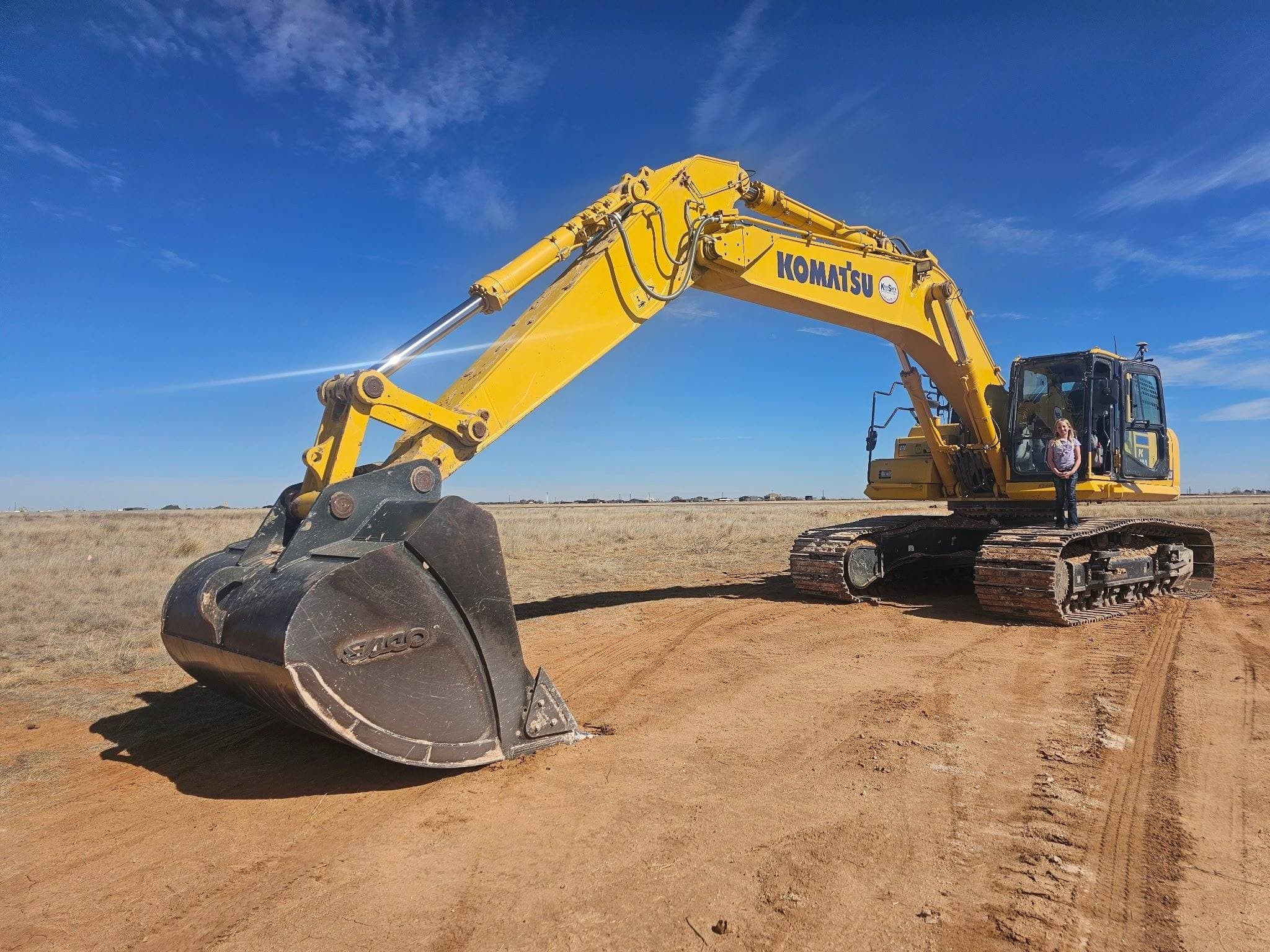
Land Development
Turning raw land into a graded, ready-to-use property.
Learn more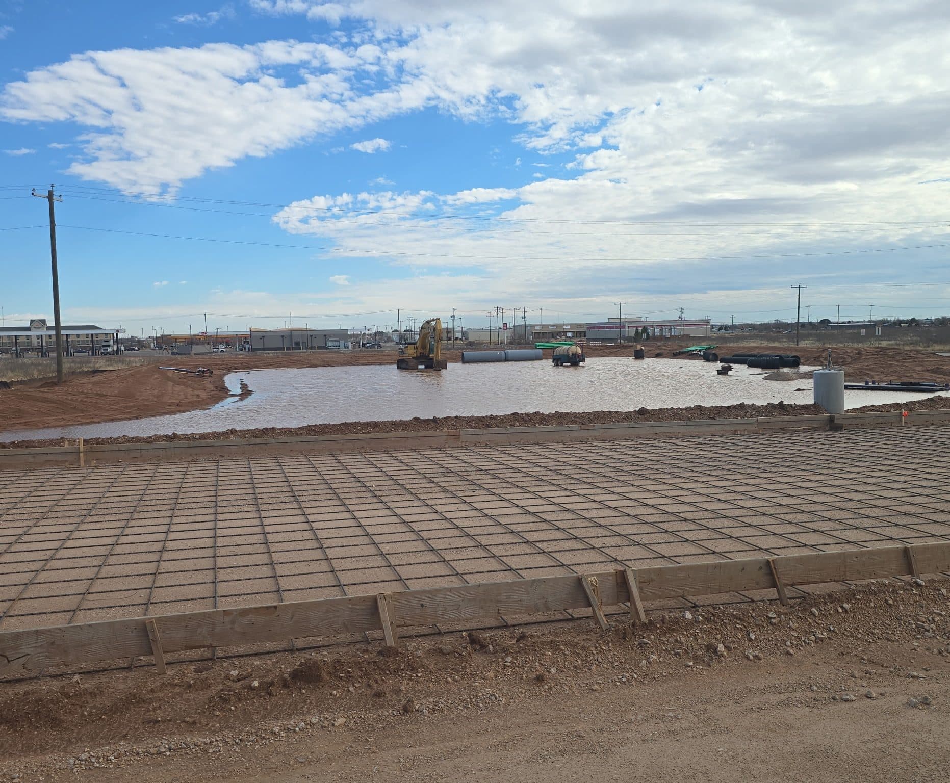
Pond Construction
Stock ponds and tanks built to hold water, not just hold a hole.
Learn more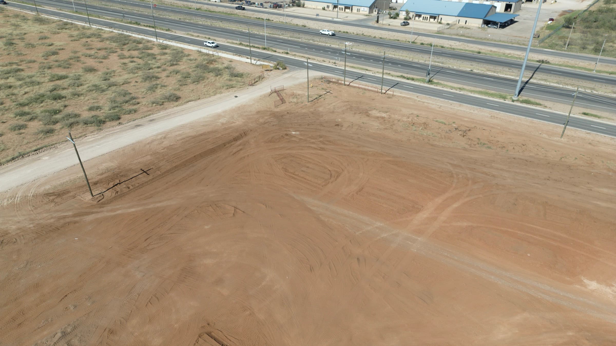
Site & Pad Construction
Site prep and pad construction that gets the ground ready to build.
Learn moreStill not sure which one your ground wants?
Tell us where the gate is and what you are trying to end up with. We will walk it and tell you what we would build, including when the answer is less work than you were expecting.
Contact Us Directly
Prefer to call or email instead of filling out the form? Reach us directly:
Phone
(575) 973-8523Hours
- Monday – SundayOpen 24 hours — call anytime
Service Area
Midland, TX & the Permian Basin